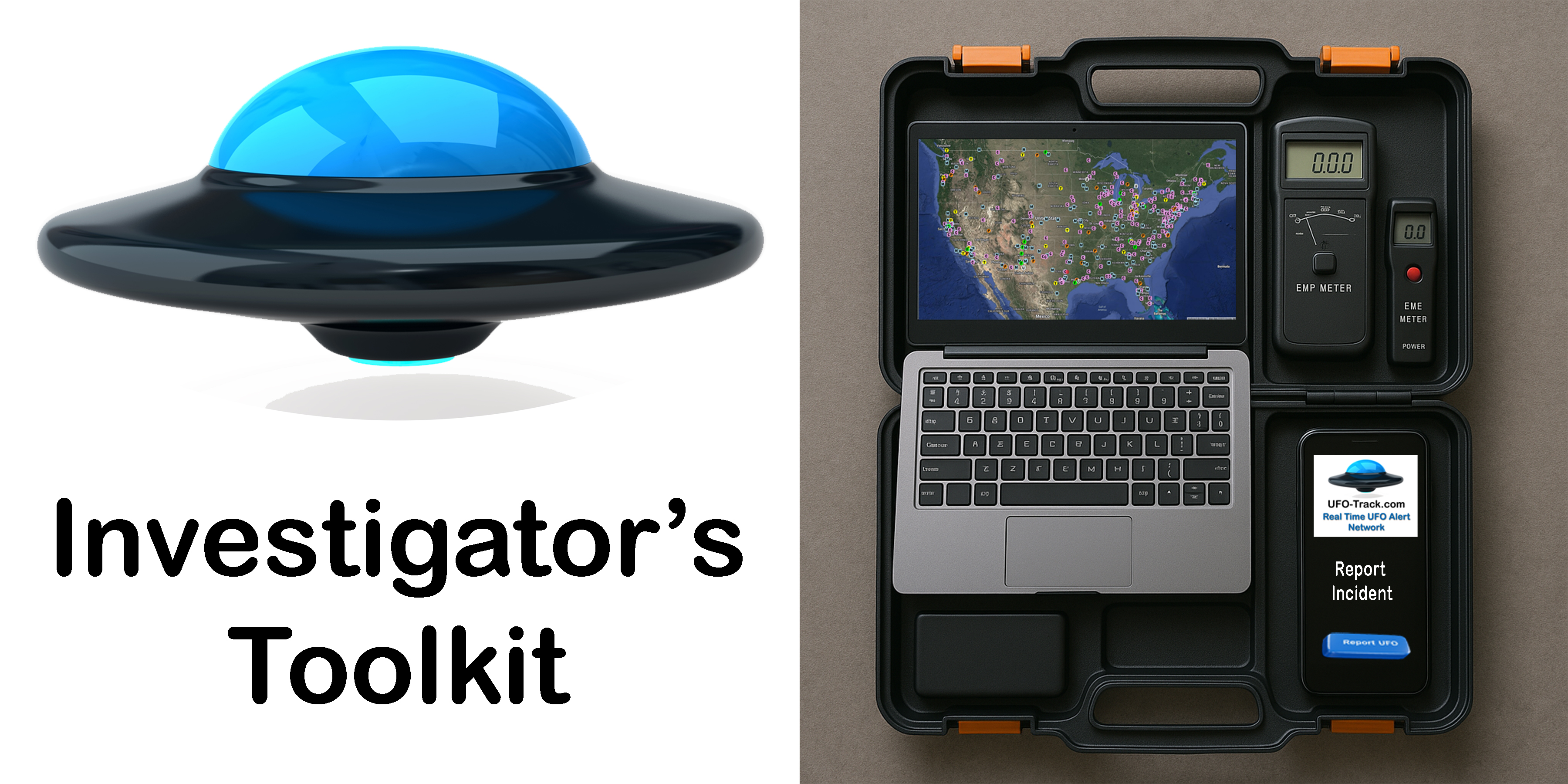
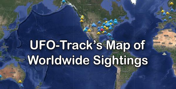
Real Time UFO Sightings Map
See the real-time map of UFO Sightings Worldwide from UFO-Track
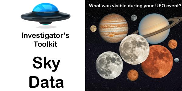
Sky Data - what was visible in the sky
Given any latitude, longitude and time of day, the typical visible astronomical objects are
calculated. Many UFOs can easily be explained by brilliant planets - this is the first place to
go to see if that is the case. It is the first place to go, if a planet has been used to dismiss
a claim - just to verify for accuracy.
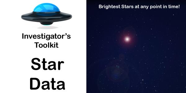
Star Data - the brightest stars at any point in time
Given any latitude, longitude and time of day, this tool tells you where in the sky several of
the brightest stars can be seen.
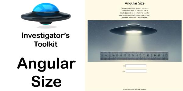
Angular Size - Witness Helper
This program helps convert inches or centimeters held at a typical arm's length (25 inches
or 64 cm) to angular size in degrees. Don't guess, use a ruler!
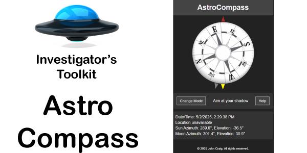
AstroCompass
Find true North by using the Sun or the Moon or your shadow. This PHONE app -
is designed to help you find absolute directions, not subject to the Earth's magnetic
field. If you are out on an investigation, and you need to get true bearings for Aziumth or
direction, use the Sun or the Moon or your shadow and this app.
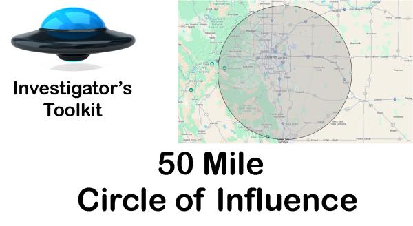
50 mile radius circle of influence
The UFO-Sense boxes and the Report.UFO-Track.com alerts will go out to all members in a 50-mile
radius - that's 7854 square miles. To get a visual point of reference for that, here is a
map. Find your spot on the map and just click on it - and you'll see a 50-mile radius
circle drawn in red from that point outward.
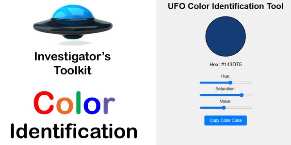
Color Identification
When a UFO witness is trying to describe colors on the object, use this tool to identify the
color as closely as possible.
Decimal Degrees Convert to Degrees, Minutes and Seconds
Some formulas need degrees in a decimal format, others require Degrees, Minutes and Seconds. This
conversion tool will help you handle both situations
Earth Distance and Bearing
As the crow flies, Earth Distance and Bearing from two Latitude, Longitude
points on the Earth. Very useful measurement when investigating objects moving above the
Earth's surface.
Elevation Angle - Witness Helper
Elevation angle is from the horizon up to an object. It's easy to overestimate this angle!
Practice with the Moon.
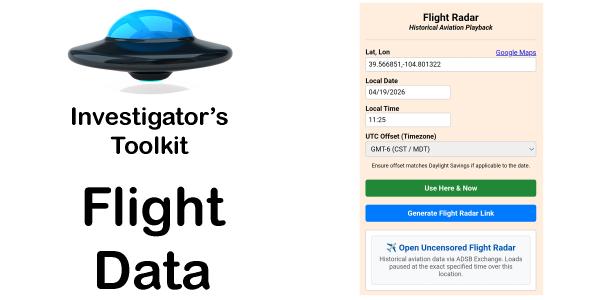
Flight Radar
Get the flight ADS-B data for any time and location.
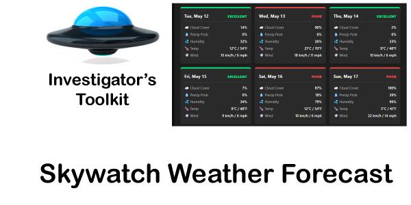
Skywatch Weather Forecast
Long range forecast for a location predicting the visibility of the night sky for filming and
skywatching.
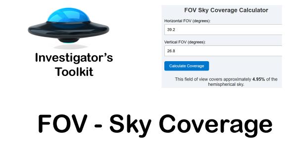
FOV Sky Coverage Calculation
With the angle of view from right to left - and top to bottom for any camera, this calculator
will determine how much of the sky is in your FOV.
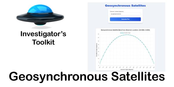
Geosynchronous and Geostationary Satellite calculation
How to locate the geosynchronous satellite's band in the sky based on latitude.
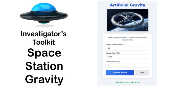
Space Station Gravity Rotation Calculation
Calculate the size and rotation speed for simulating gravity on a space station.
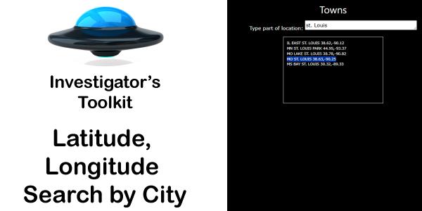
City Name search for Latitude and Longitude
When you need a quick reference to the Longitude and Latitude information for a general area -
around a city - search on the city name and get the coordinates you need.
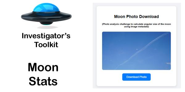
Moon Angular Size from Photograph
Calculate the moon's angular size using a photograph and its metadata.
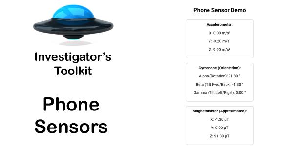
Phone Sensors
Phone sensors - accelerometer, gyroscope and magnetometer. USE ON PHONE ONLY!
Calculate Degrees per Pixel
To accurately calculate an object's size or distance, you must know the dimension of the
photograph that took the picture. This information is in the MetaData - and this handy
calculation will help you figure out the angular size - and perhaps more of objects in
photographs.
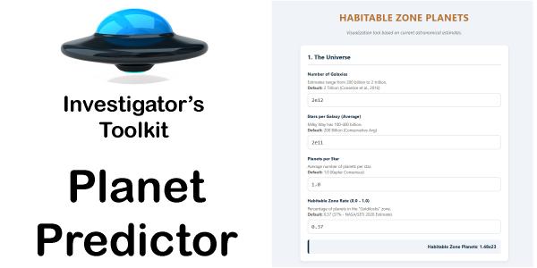
Habitable-Zone Planets Predictor
How many habitable-zone planets are there? Calculator
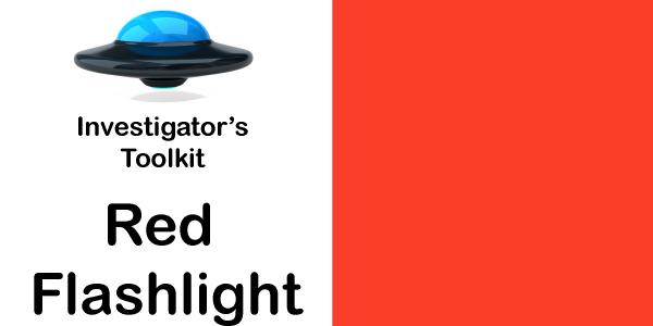
Red Flashlight
Red Flashlight to keep your eyes adjusted on the skies, but able to see what you need to on the
ground.
Buy one on Amazon here: https://amzn.to/4jGeNg5
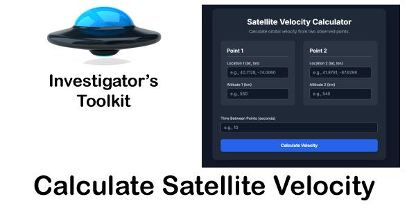
Satellite Orbital Velocity
Calculate a satellite's velocity for a given amount of time.
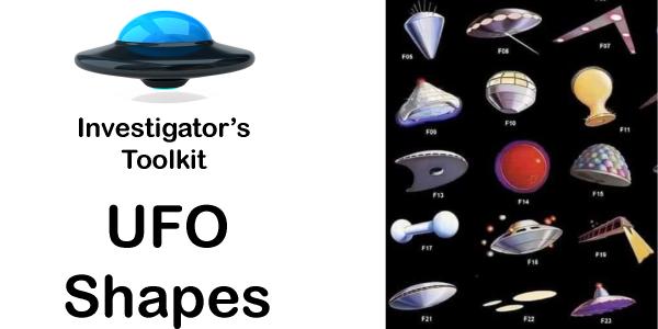
UFO Shape Assist
Keeping terminology the same between reports help with analysis and cross sighting insights. Use
these names and descriptions for the shapes of objects if possible.
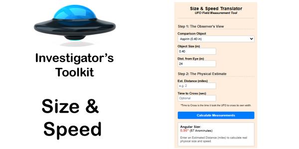
Size and Speed of an object
Estimate size and distance of an object by holding something at arm's length
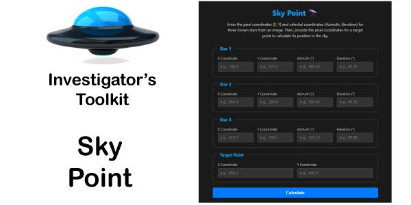
Sky Point - calculate position of an object using star data
Calculate the position - azimuth and elevation - of an object using 3 star reference points.
Solving Triangles
If you have any 3 known sides or angles (as long as there is at least one side), you can solve
the triangle for the length of the other sides and its angles.
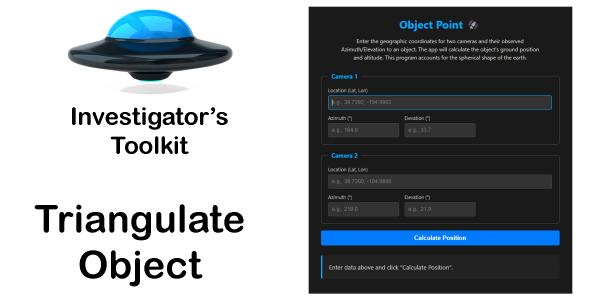
Triangulate Object's Location from Two Cameras
Using two cameras with synchronized photographs, triangulate the point in space of an object in
both photos.
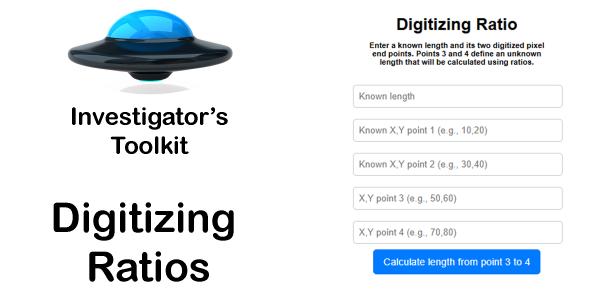
Digitizing Ratios
Enter a known length and its two digitized pixel end points.
Points 3 and 4 define an unknown length that will be calculated using ratios.
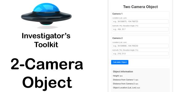
Two Camera Object
Triangulate objects with the locations of two cameras are known and they took pictures of the
same object from different locations.
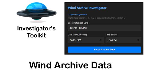
Wind Data Archive
Wind Analysis for any given latitude/longitude and date/time.
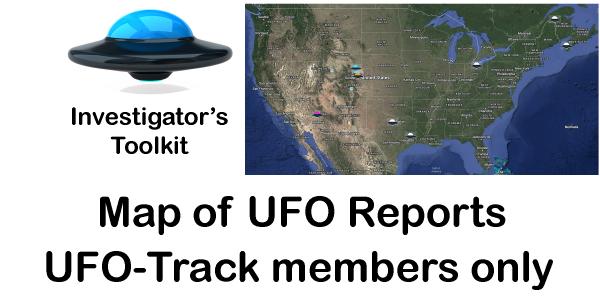
Members Only: Interactive Map of UFO Cases in the Network
Interactive map of the UFO reports across the world, in the news and in the UFO-Track network.
For UFO-Track Members only: If you're not a member of UFO-Track, click through to Join Now to see a comprehenisve list of membership
perks.
Contact Us at UFO-Track about the Toolkit
If you're using the toolkit and need help or further instruction, let us know here!